Fire-Control Towers & Lighthouses

Towers 9 (adjacent to 10) and 14 (Broadkill Beach) no longer exist.
Special note: although it is documented that the HECP was in Tower 9,
my comparison of old maps with new maps appear to show it was actually Tower 10.
 Harbor of Refuge Lighthouse on the outer breakwater. Tower 11 may have been right next to the light (on the right). My studies suggest the Light itself was not the FC tower. N 38Ḟ48.871 W075Ḟ05.544 (USCGS) |
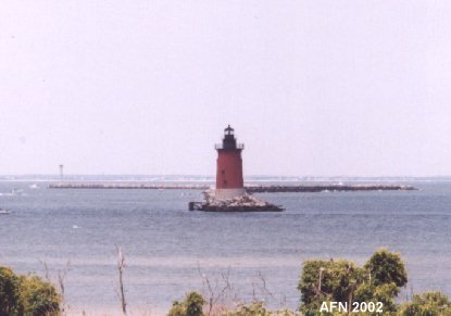 Delaware Breakwater Lighthouse. N 38Ḟ47.827 W075Ḟ05.998 (USCGS) |
 Tower 13 (near ferry terminal). N 38Ḟ46.762 W075Ḟ07.191 (USCGS) |
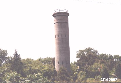
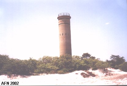
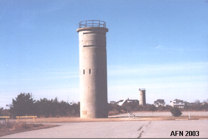
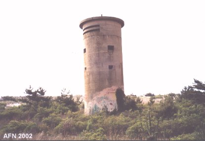
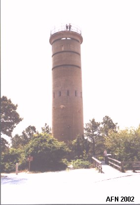 Tower 7 (open to public). N 38Ḟ46.580 W075Ḟ05.566 (USCGS) |
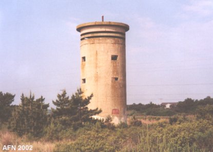
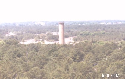 Tower 12 (viewed from 7). N 38Ḟ46.548 W075Ḟ06.034 (USCGS "Military") |
 Another view of Tower 12 (near campground). |
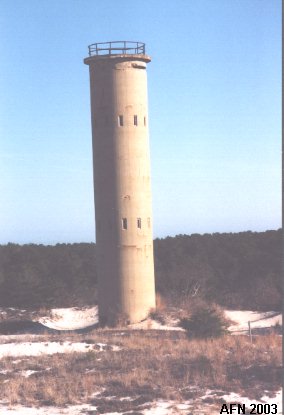
 Tower 10 - HECP (or 9). N 38Ḟ47.648 W075Ḟ05.500 Still used by the Delaware Pilots Association. |
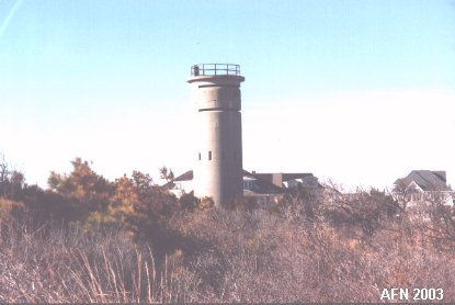
 Tower 8 (near youth center). N 38Ḟ47.295 W075Ḟ05.691 (USCGS) |
 Towers 5 & 6 (on south end of state park accessible only from Rehoboth Beach). |
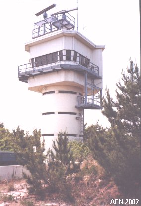
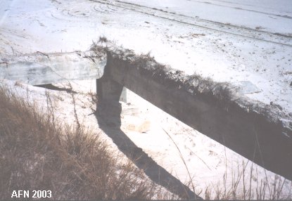
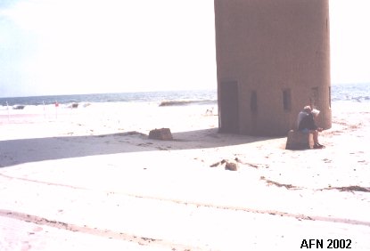 Radar tower site behind Tower 6 (couple sitting on part of it). N 38Ḟ44.964 W075Ḟ04.875 (USCGS "Gordon") |
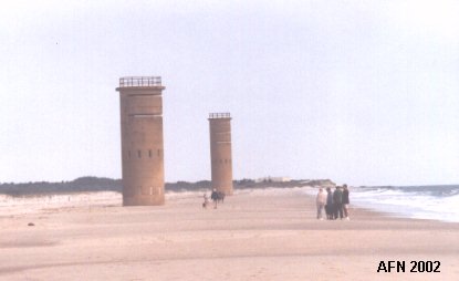
 Towers 3 & 4 (Delaware Seashore State Park near Dewey Beach). N 38Ḟ40.689 W075Ḟ04.267 (USCGS "Round") |
 Tower 4. N 38Ḟ40.837 W075Ḟ04.284 (USCGS "Rehoboth Beach Observation Tower 5") |
 Tower 2 (by Indian Harbor Villa south of Indian River bridge). N 38Ḟ35.314 W075Ḟ03.674 (USCGS "Bethany Beach Observation Tower 4") |
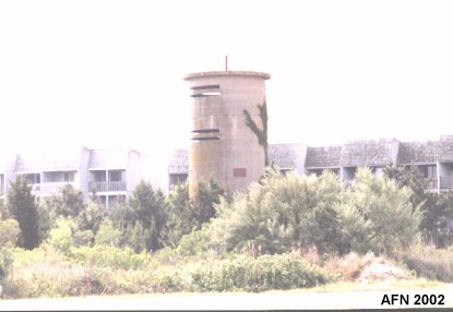
 Tower 1 (Fenwick Island State Park near Seaside Villas). N 38Ḟ30.351 W075Ḟ03.232 (USCGS "Fenwick Island Observation Tower 3") |
 Another view of Tower 1. |
 Unknown tower foundation near Battery Herring. |
 |
|
